Antiquities
Medieval farmstead near Cold East Cross
Remains of a medieval farmstead on the open moor, south east of Cold East Cross.


Remains of a medieval farmstead on the open moor, south east of Cold East Cross.
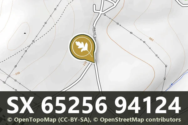
A granite milestone marking the moorland routes that once connected Dartmoor's scattered settlements and farms.

A medieval wayside cross standing at the south west edge of North Bovey village green, a scheduled monument.

A medieval wayside cross on open moorland, likely marking a route or boundary on Dartmoor.
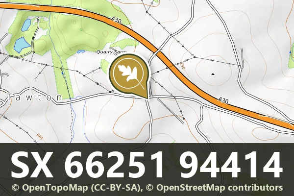
South Tawton, Okehampton
A medieval wayside cross on the open moor, likely marking a route or boundary in the Oxenham valley.
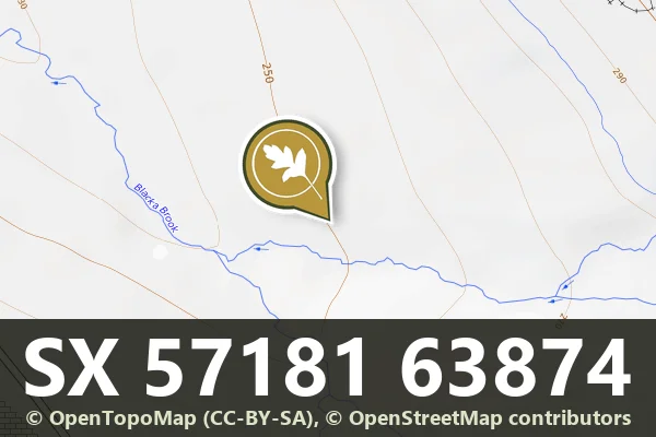
A medieval pillow mound at Trowlesworthy Warren, evidence of the moor's long history of managed land use.

A low earthwork on Trowlesworthy Warren, likely medieval in origin, part of the warren's complex landscape of management and use.
A waymarked stone cross standing on open moorland, marking ancient routes across Dartmoor's high ground.
South Tawton, Chagford
A medieval wayside cross standing on Ringhill, a modest but enduring marker of pilgrimage or parish boundary on open moorland.