

Dartmoor from every angle. These maps layer open data over the moor so you can plan a safe walk, find where wild camping is allowed, follow a river from its source, check the sun and golden hour, or fade the landscape back through a century of old maps. Pick a map below, or scroll down for the full version of each with its data sources.
Jump to a map: Rivers & Waterways · Wild Camping · Firing Times · River Pollution · Rainfall · Trees · LiDAR · Sun & Golden Hour · Dartmoor Through Time · The Full Map
Rivers & Waterways
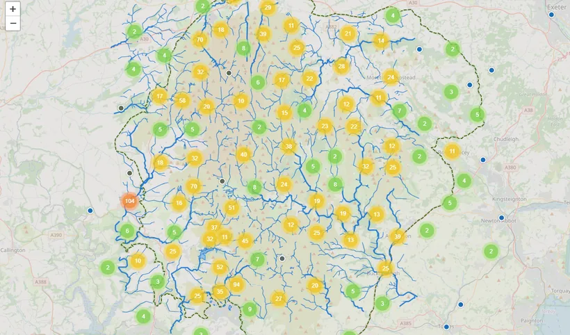
The moor is where Devon's rivers begin. Rain that falls on the high blanket bog gathers into a web of brooks and rivers that spill off Dartmoor in every direction. This map traces the whole network, from the great rivers like the Dart and the Teign down to the smallest named brook, alongside the reservoirs and moorland pools. Switch the layer on and the background map fades so the water stands out; hover any river or brook to see its name.
Open the Rivers & Waterways map → or open it full screen ↗
Data source: OpenStreetMap contributors, Open Database Licence (ODbL). Every named river and brook also has its own page in the directory.
Wild Camping
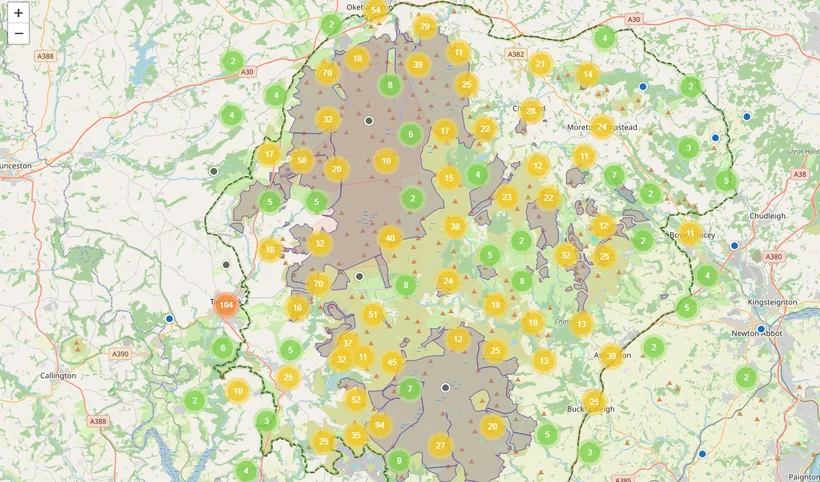
Where you can wild camp on Dartmoor. Dartmoor is the one place in England where backpack camping on open moorland is allowed, within set areas and rules. This map shows the permitted zones, so you can plan a night under the stars in the right place. One or two small tents, for one or two nights, carried in and carried out, and leave no trace.
Open the Wild Camping map → or open it full screen ↗
Data source: Backpack camping areas © Dartmoor National Park Authority. Always check the current rules with the National Park before you camp.
Firing Times
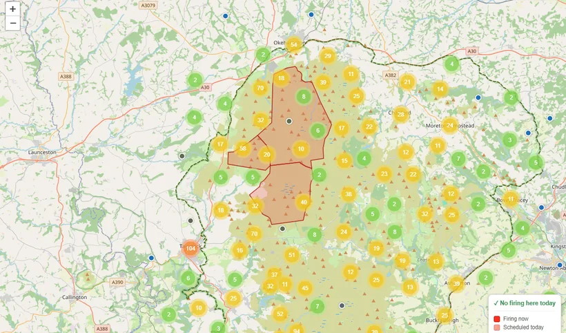
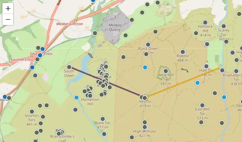
Check the moor before you go. Three military ranges cover a large part of northern Dartmoor, and live firing takes place on many days. This map shows the range danger areas and, where available, today's live firing schedule, so you can plan a safe route. When a range is active it is marked by red flags and lights, and you must stay out.
Open the Firing Times map → or open it full screen ↗
Data sources: Range areas © OpenStreetMap contributors. Live firing schedule © Crown copyright, GOV.UK Dartmoor firing programme (Open Government Licence v3.0). Always confirm with the official source (freephone 0800 458 4868) before travelling.
River Pollution & Health
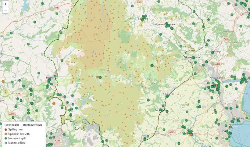
Is the river clean today? Storm overflows can release sewage into Dartmoor's rivers, especially after rain. This map shows the monitored overflow points and their recent status, so you can make an informed choice before you swim, paddle or let the dog in. Turning the layer on hides the other pins so the monitors stand out.
Open the River Pollution map → or open it full screen ↗
Data sources: Live status via the National Storm Overflow Hub (Creative Commons Attribution 4.0); annual spill figures from the Environment Agency Event Duration Monitoring return (Open Government Licence v3.0). Readings can lag reality, so take extra care after heavy rain.
Rainfall
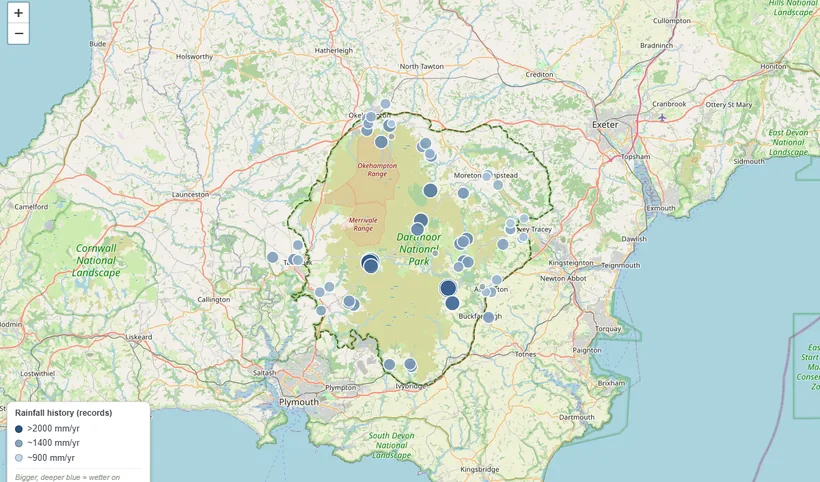
Dartmoor is one of the wettest places in southern England. Moist Atlantic air is forced up over the high granite moor, cools, and falls as rain, so the heart of the moor can receive well over two metres a year while the lowlands around it stay far drier. This map shades a century of Met Office rain-gauge records by average annual rainfall; switch to the live layer to see the rain falling right now.
Open the Rainfall map → or open the live rainfall map full screen ↗
Data sources: Rainfall history from Met Office MIDAS Open data; live rainfall from the Environment Agency. Both under the Open Government Licence v3.0.
Trees Outside Woodland
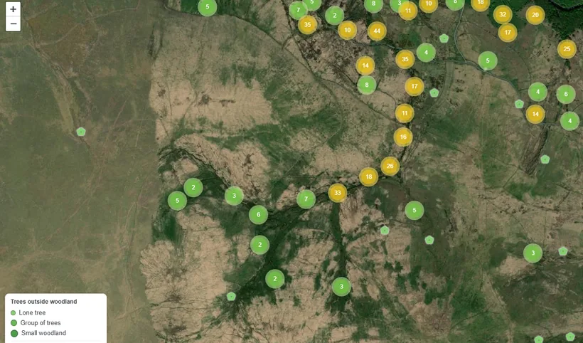
The trees that stand apart from the woods. Away from Dartmoor's woods and plantations, the moor is dotted with trees on their own: a lone hawthorn on a bank, a huddle of trees on the side of a tor, a small wood by a farm. This map gathers the lone trees, the small groups and the little woodlands across the moor. Turning it on switches to a satellite view, because scattered trees make far more sense against an aerial photograph. Zoom in and click any tree for its type and coordinates.
Open the Trees Outside Woodland map → or open it full screen ↗
Data sources: Trees from Forest Research, Trees Outside Woodland map (Open Government Licence v3.0); aerial imagery © Esri, Maxar, Earthstar Geographics; base map © OpenStreetMap contributors. Automated data: only trees over ~3m are mapped and it can contain errors, so treat it as a guide.
LiDAR Landscape
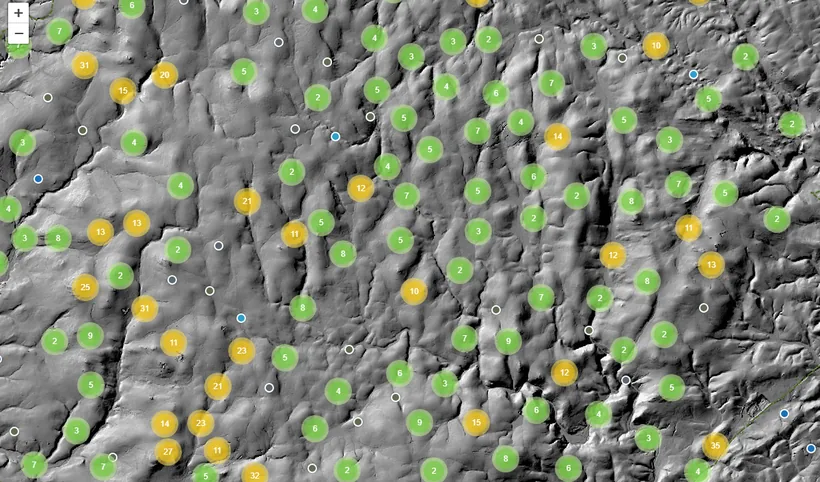
Dartmoor's ancient landscape, revealed from the air. LiDAR is a survey made by firing laser pulses at the ground from an aircraft, building a detailed model of the bare earth. Shaded like a relief map, it exaggerates tiny bumps and hollows, so hut circles, reaves, burial mounds and lost farmsteads that hide under grass and heather rise back into view. Every listing pin stays on top, so you can open a site's page as you go.
Open the LiDAR map → or open it full screen ↗
Data source: LiDAR composite imagery © Environment Agency, copyright and/or database right, Open Government Licence v3.0.
Sun & Golden Hour
Plan a photograph, or a walk home before dark. Pick any spot on the moor to see today's sunrise, sunset and golden hour, and which way to look for them. Scrub the date to watch the sun's rise and set directions swing across the year. Ideal for photographers chasing the light on a tor, and for anyone who wants to be off the moor before nightfall.
Open the Sun & Golden Hour map →
Data source: Sun and golden-hour times are calculated in your own browser from the date and location, with no external service. Base map © OpenStreetMap contributors.
Dartmoor Through Time
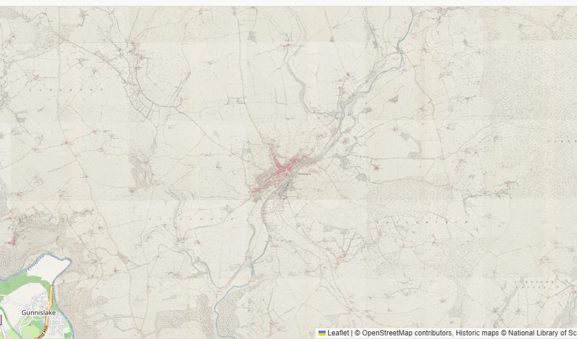
Watch the moor change across a century. Drag the slider to fade the modern map back through historic Ordnance Survey maps, from the 1880s to today, or press Play to watch it change on its own. Villages grow, railways come and go, and the pattern of fields and farms shifts under your eyes.
Open the Dartmoor Through Time map →
Data sources: Historic maps © National Library of Scotland (Creative Commons Attribution). Modern base map © OpenStreetMap contributors.
The Full Our Dartmoor Map
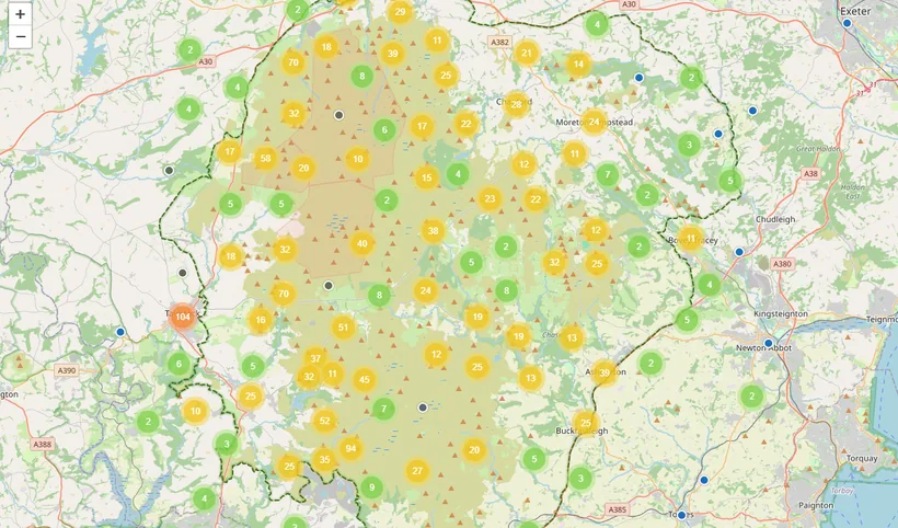
Everything on one map. Every business, place, tor, ancient site and river listing on Our Dartmoor that has a physical location, gathered on a single searchable map. Filter by type, search for a place, and switch on any of the layers above. The map shows only listings with an address on the moor; online-only listings live in the full directory.
Data sources: Our Dartmoor listings (our own community data); base map © OpenStreetMap contributors and OpenTopoMap (CC-BY-SA).
Each map is provided in good faith and is not a substitute for official advice, so always confirm with the original source before you travel.