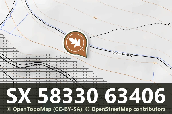
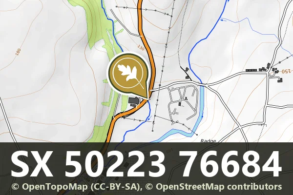
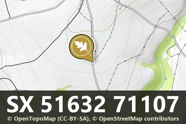
Boundary Stone, Ngr 503 767
Peter Tavy, Tavistock
A stone boundary marker on the open moor, marking historic land divisions across Dartmoor's upland landscape.
Dartmoor's archaeology and heritage - antiquities, historic buildings and museums.
Peter Tavy, Tavistock
A stone boundary marker on the open moor, marking historic land divisions across Dartmoor's upland landscape.
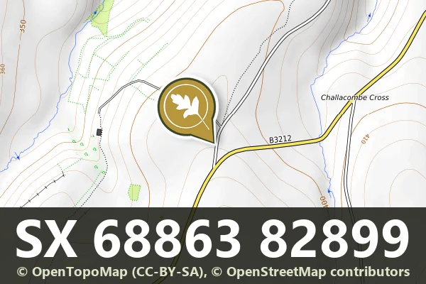
Leetown, Tavistock
A boundary marker stone on the open moor, marking the historic limits of land ownership or administrative division.
Lettaford, Chagford
A stone marker recording a boundary line across the Dartmoor moorland, likely dating from the medieval period or later.
Scheduled prehistoric settlement with enclosure banks, set on open moorland northwest of Archerton.
Bronze Age settlement remains scattered across the open moorland, revealing how people lived on Dartmoor thousands of years ago.
A medieval stone chest tomb and later structure beside Holy Trinity Church, marking burial practices on the edge of Dartmoor.
Bronze Age cairn on the open moor west of Archerton, a scheduled monument and marker of prehistoric settlement.
A Bronze Age cairn on the open moor northwest of Archerton, part of Dartmoor's ancient burial landscape.
A Bronze Age cairn on the open moorland east of Big Pond, marking an ancient burial or ritual site.