Antiquities
Direction Post
Wreyland, Bovey Tracey
A stone direction post at a crossroads on the open moor, guiding travellers across Dartmoor's high ground.

Dartmoor's archaeology and heritage - antiquities, historic buildings and museums.
Wreyland, Bovey Tracey
A stone direction post at a crossroads on the open moor, guiding travellers across Dartmoor's high ground.
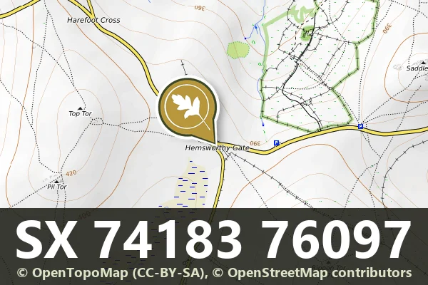
Venton, Ashburton
A granite guidestone at Hemsworthy Gate Crossroads, marking routes across the open moor.
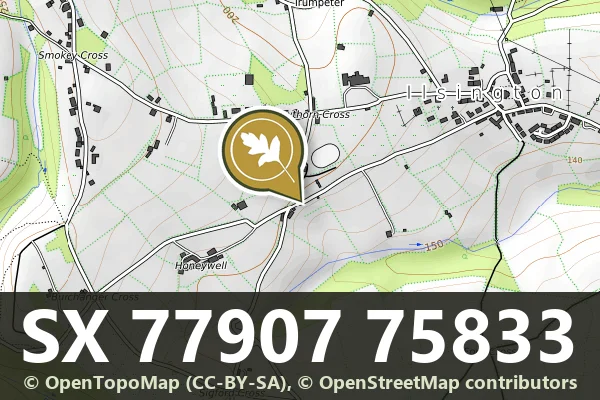
Trumpeter, Bovey Tracey
A stone direction post marking the junction of the lane from Ilsington Methodist Church and the route to Lewthorn Crossroads.
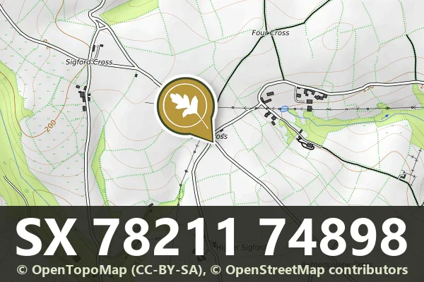
Higher Sigford, Bovey Tracey
A stone direction post at a remote five-way junction on Dartmoor, marking routes across the high moor.
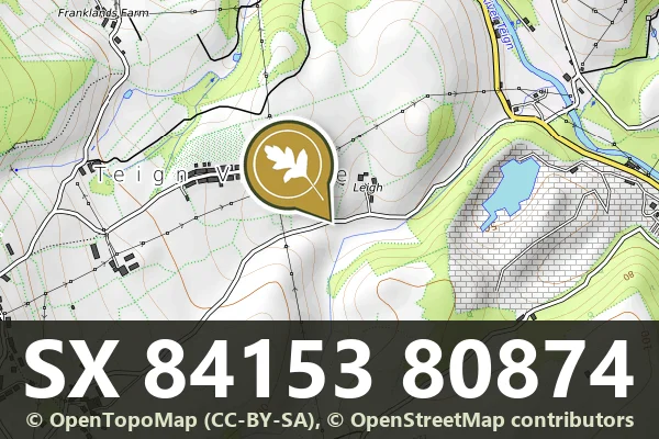
Teign Village, Chudleigh
A direction post at Leigh Crossroads marking routes across the moorland landscape.
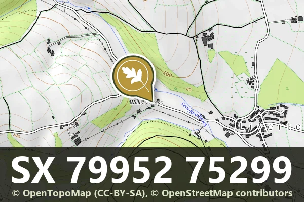
Liverton, Bovey Tracey
A direction post marking a fork in the road at Willis's Crossroads, likely dating from the 18th or 19th century.

A Grade II* listed farmhouse, long abandoned, standing on the open moor near Flood with roots in medieval or early modern settlement.

Bronze Age stone hut circle and enclosed settlement south of Deadlake Foot on Dartmoor.
Bronze Age stone hut circle settlement on the open moor, with a distinctive pair of roundhouse foundations.