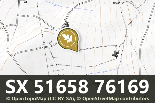

Direction Post, The Junction Of The Roads To Hennock Village And Warmhill
Hennock, Bovey Tracey
A direction post marking the junction of roads to Hennock village and Warmhill, a modest wayfinding marker from the moor's transport history.
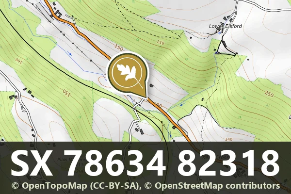
Hennock, Bovey Tracey
A direction post marking the junction of roads to Hennock village and Warmhill, a modest wayfinding marker from the moor's transport history.
Lustleigh, Bovey Tracey
A roadside milestone marking distance on the A382, a remnant of the turnpike era.
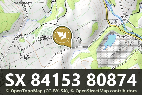
Teign Village, Chudleigh
A direction post at Leigh Crossroads marking routes across the moorland landscape.
Harragrove, Tavistock
A standing monumental cross on open moorland, likely medieval in origin, marking an ancient route across Dartmoor.
Jordan, Ashburton
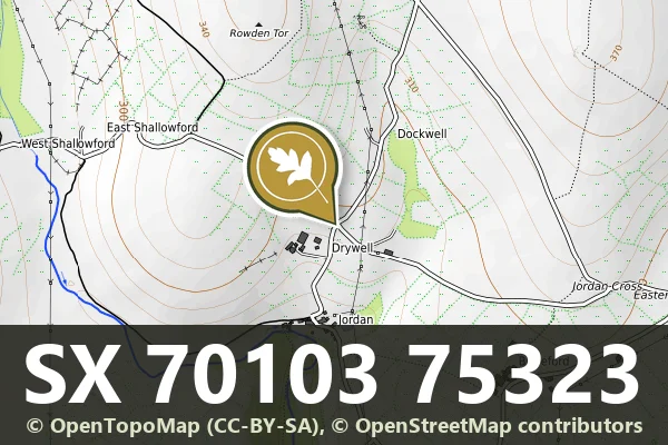
A wayside cross marking the north corner of a crossroads deep in Dartmoor's moorland landscape.
Venton, Ashburton
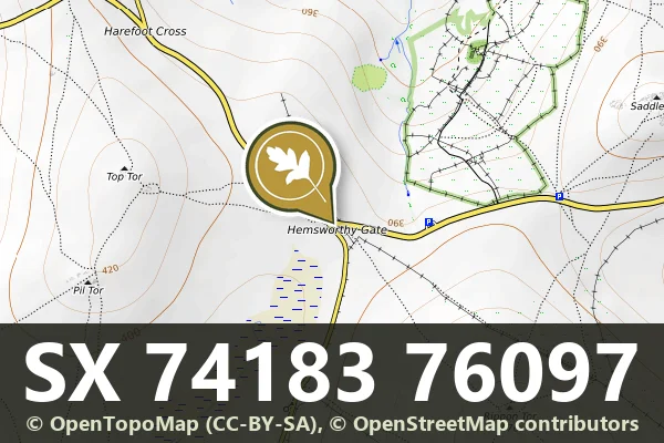
A granite guidestone at Hemsworthy Gate Crossroads, marking routes across the open moor.
Lower Dunstone, Ashburton
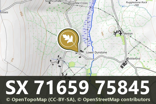
A modest medieval wayside cross standing on the open moor, marking an old route across Dartmoor.
Venton, Ashburton
A modest stone boundary marker standing near Hemsworthy Gate, marking the edge of moorland common land.
Ponsworthy, Ashburton
A stone marker built into a garden wall at Ponsworthy House, likely marking an old parish or estate boundary.