
Boundary Stone Approximately near Blackaton Cross
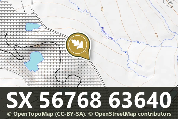
Lee Moor, Plympton
A weathered boundary stone standing on the open moor north west of Blackaton Cross, marking medieval or early modern land divisions.

Lee Moor, Plympton
A weathered boundary stone standing on the open moor north west of Blackaton Cross, marking medieval or early modern land divisions.
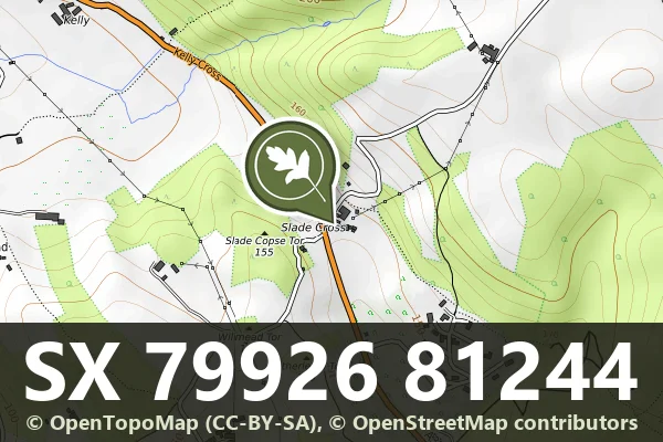
Green Lane, Bovey Tracey
A granite milestone and surviving section of the Haytor granite tramway, a 19th-century industrial route across the moor.
Wreyland, Bovey Tracey
A direction post standing near Slade Farm, a modest marker from Dartmoor's network of wayfinding stones.
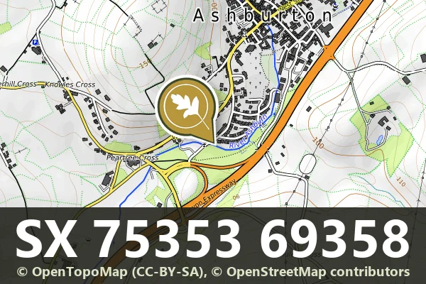
Dolbeare, Ashburton
A medieval wayside cross on Dartmoor, likely marking a route or parish boundary in the open moorland.
Lower Bowdley, Ashburton
A stone milestone marking distance on the road through Dartmoor's high moorland, likely from the turnpike era.
Pridhamsleigh, Ashburton
A roadside milestone marking distances on the old turnpike route near Gage's Mill, likely dating from the 18th or 19th century.
Lower Dunstone, Ashburton
A boundary marker stone on the moor north west of Pondsworthy, marking historic parish or estate limits.
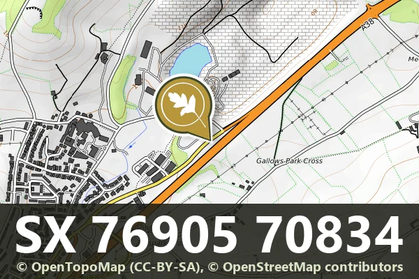
Dolbeare, Ashburton
A granite milestone marking the turnpike roads that crossed Dartmoor in the 18th and 19th centuries.
Hennock, Bovey Tracey
A direction post marking the crossroads at Cherrycombehead, guiding travellers across the moorland landscape.