
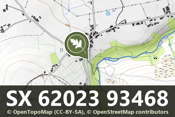
Spring Head, SX 620 935
Belstone, Okehampton
A holy well on the open moor, likely medieval or earlier in origin, marking a place of water and spiritual significance.
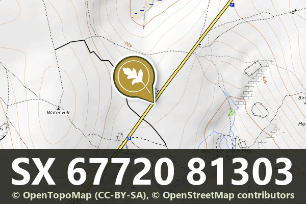
Belstone, Okehampton
A holy well on the open moor, likely medieval or earlier in origin, marking a place of water and spiritual significance.
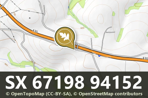
Challacombe, Chagford
A weathered roadside milestone marking distance on the high moor, typical of routes crossing Dartmoor from the 18th or 19th century.
South Tawton, Chagford
A medieval wayside cross standing on Ringhill, a modest but enduring marker of pilgrimage or parish boundary on open moorland.
Moortown, Tavistock
A roadside milestone marking distance on the old routes crossing Dartmoor's high moorland.
Cudlipptown, Tavistock
A roadside milestone marking distance on the moor, likely from the 18th or 19th century.
Peter Tavy, Tavistock
A stone milestone marking a route across the open moor, likely from the 18th or 19th century.
Kingsett, Tavistock
A 19th-century stone milestone marking distance on the moorland roads around Dartmoor.
Leetown, Tavistock
Five granite boundary stones marking the western edge of Sampford Spiney, set across the open moorland landscape.
Lustleigh, Moretonhampstead
A medieval wayside cross standing alone in a field east of Higher Combe, marking an ancient route across the moor.