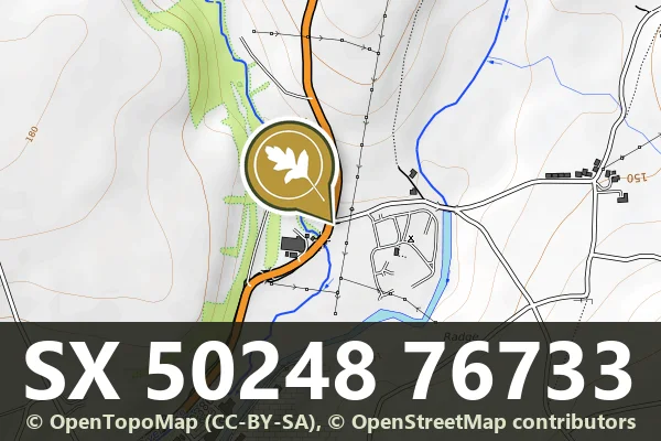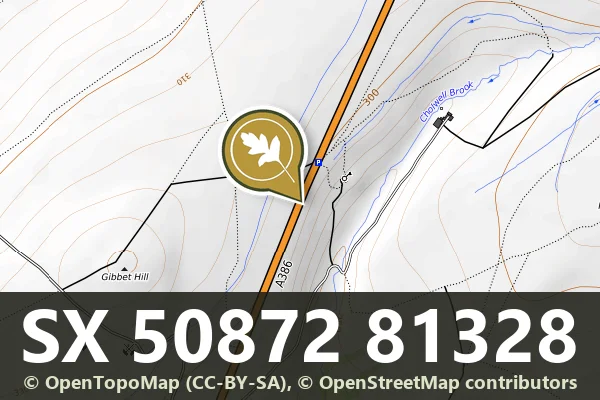


Direction Post, North-East Corner Of Beacon Lane
Hennock, Bovey Tracey
A direction post marking the crossroads at Cherrycombehead, guiding travellers across the moorland landscape.
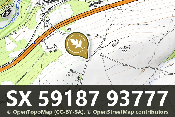
Hennock, Bovey Tracey
A direction post marking the crossroads at Cherrycombehead, guiding travellers across the moorland landscape.
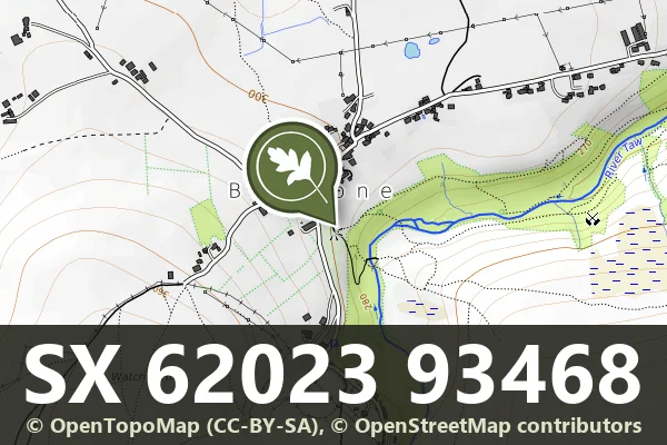
Belstone, Okehampton
A stone cross standing beside Fitz's Well, a modest wayside monument on the open moor.
Belstone, Okehampton
A holy well on the open moor, likely medieval or earlier in origin, marking a place of water and spiritual significance.
Challacombe, Chagford
A weathered roadside milestone marking distance on the high moor, typical of routes crossing Dartmoor from the 18th or 19th century.
South Tawton, Chagford
A medieval wayside cross standing on Ringhill, a modest but enduring marker of pilgrimage or parish boundary on open moorland.
Moortown, Tavistock
A roadside milestone marking distance on the old routes crossing Dartmoor's high moorland.
Cudlipptown, Tavistock
A roadside milestone marking distance on the moor, likely from the 18th or 19th century.
Peter Tavy, Tavistock
A stone milestone marking a route across the open moor, likely from the 18th or 19th century.
Kingsett, Tavistock
A 19th-century stone milestone marking distance on the moorland roads around Dartmoor.