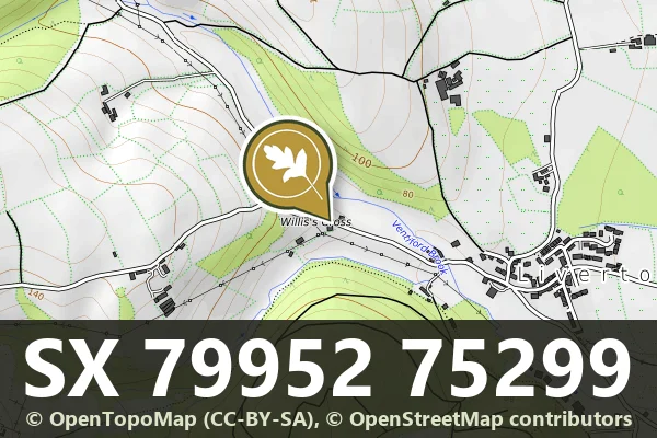
Direction Post, Willis's Crossroads
Liverton, Bovey Tracey
A direction post marking a fork in the road at Willis's Crossroads, likely dating from the 18th or 19th century.
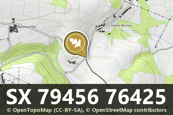
Liverton, Bovey Tracey
A direction post marking a fork in the road at Willis's Crossroads, likely dating from the 18th or 19th century.
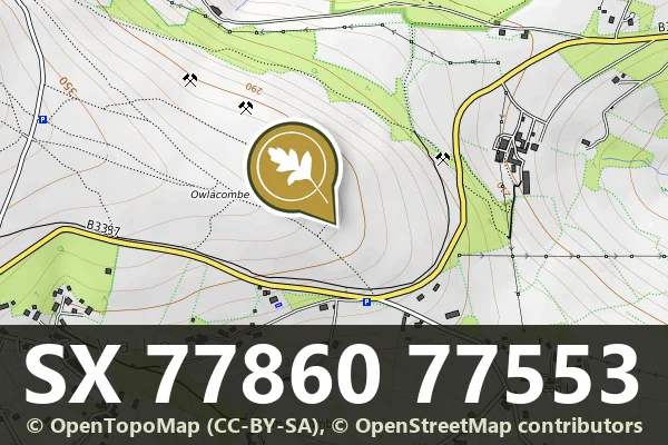
Higher Brimley, Bovey Tracey
A direction post marking the north east corner of Woodhouse Crossroads on Dartmoor.
Smallacombe, Bovey Tracey
A boundary stone marking the western edge of a parish on Dartmoor's high moorland, northwest of Haytor Road.
Wreyland, Bovey Tracey
A stone direction post at a crossroads on the open moor, guiding travellers across Dartmoor's high ground.
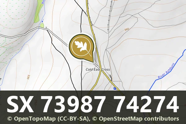
Lower Bowdley, Ashburton
A modest stone marker standing northwest of Cold East Crossroads, marking an old boundary line across Dartmoor.
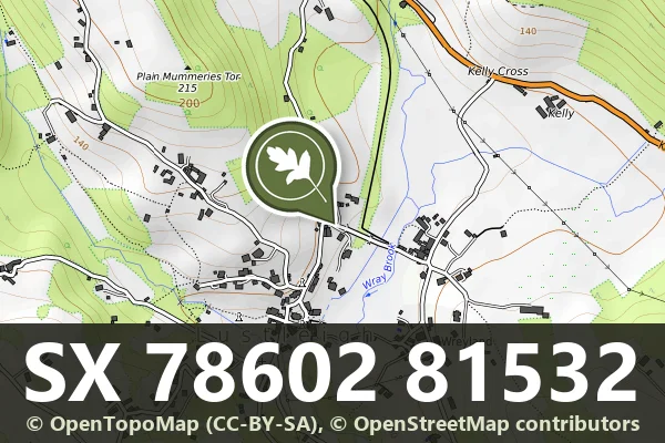
Lustleigh, Bovey Tracey
A wayside cross stone built into a garden wall near Caseley, likely medieval in origin.
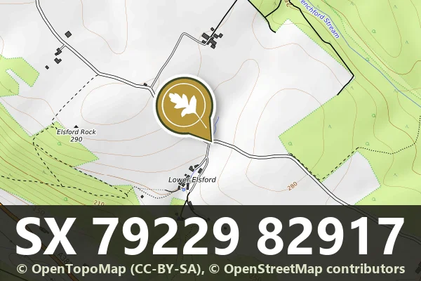
Wreyland, Moretonhampstead
A medieval wayside cross standing opposite Lower Elsford Farm, marking an old route across the moor.
Cranbrook, Moretonhampstead
A modest stone marker standing beside an old moorland route, marking the way for travellers crossing Dartmoor.
Lettaford, Chagford
A stone marker recording a boundary line across the Dartmoor moorland, likely dating from the medieval period or later.