Antiquities
Hele Cross
A medieval wayside cross standing alone on the open moor south east of Wormhill, a marker of routes and boundaries across Dartmoor.

A medieval wayside cross standing alone on the open moor south east of Wormhill, a marker of routes and boundaries across Dartmoor.

Remains of an Iron Age hillfort and later medieval settlement hidden within South Longridge Wood on the edge of Dartmoor.

A standing stone cross on open moorland, likely medieval, marking a route or boundary across Dartmoor.

A medieval wayside cross marking the moorland route between North Bovey and Bovey Tracey.

A medieval wayside cross standing on open moorland south-west of Sampford Spiney, marking an ancient route across Dartmoor.

Bronze Age kerbed cairn with stone burial cist, south west of the Grey Wethers stone circles on central Dartmoor.
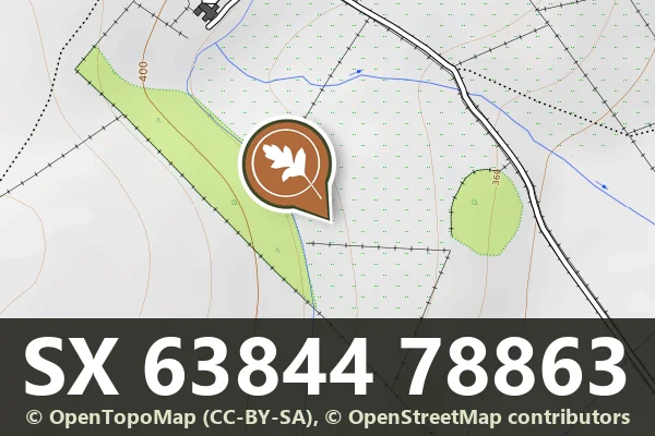
A Bronze Age burial cairn on the southern slopes near Archerton, among Dartmoor's scattered prehistoric monuments.

A medieval wayside cross marking a junction on the edge of Dartmoor, standing at the entrance to Moor Gate Farm.

A medieval wayside cross standing on the north side of a minor road northwest of Howton Farm.